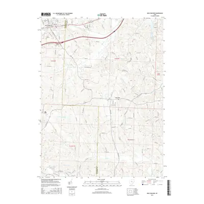
2016 Map of New Concord
USGS Topo · Published 2016About this map
Muskingum Univ anchors the village of New Concord, situated on the western edge of the Muskingum and Guernsey county line. This upland terrain is deeply etched by a network of drainage systems, including Crooked Cr and Chapman Run, which flow through the agricultural hills. The map highlights several early burial grounds such as East Union Cem and Cedar Cem, providing a detailed record for genealogical study. Further south, the settlements of Claysville and Rix Mills remain connected by the historic Claysville Rd. A distinct industrial footprint is evident near the southern border, where labels like Main Drag Haul Road, High Wall, and Ohio Power Company Pond Mur-2 indicate large-scale surface modification and water management related to utility operations and resource extraction.
Find a feature on this map
125 named features on this map. Tap any name to fly to it.
Don’t see what you’re looking for? This feature index may not catch every label — zoom into the map to look around manually.
Map Details
Editions of this 2016 New Concord Map
This is the sole edition of this map. No revisions or reprints were ever made.
Other maps of this area

1908 · Conesville
USGS Topo · 1:62,500

1909 · Cambridge
USGS Topo · 1:62,500

1910 · Philo
USGS Topo · 1:62,500

1910 · Conesville
USGS Topo · 1:62,500

1911 · Cumberland
USGS Topo · 1:62,500

1912 · Cambridge
USGS Topo · 1:62,500

1949 · Clarksburg
USGS Topo · 1:250,000

1951 · Canton
USGS Topo · 1:250,000

1953 · Canton
USGS Topo · 1:250,000

1956 · Clarksburg
USGS Topo · 1:250,000