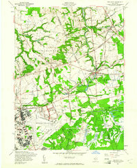
1957 Map of New Egypt
USGS Topo · Published 1961About this map
The sprawling operations of Fort Dix and Mc Guire Air Force Base dominate the southern landscape of this mid-century survey, showcasing the massive military footprint in the New Jersey pine barrens. This infrastructure stands in contrast to the agricultural and natural wetlands nearby, where numerous Cranberry Bogs and Cranberry Hall reflect the region's specialized horticulture. The settlement of New Egypt serves as a central hub, situated near Oakford Lake and the winding course of Crosswicks Creek.
Find a feature on this map
64 named features on this map. Tap any name to fly to it.
Don’t see what you’re looking for? This feature index may not catch every label — zoom into the map to look around manually.
Map Details
Editions of this 1957 New Egypt Map
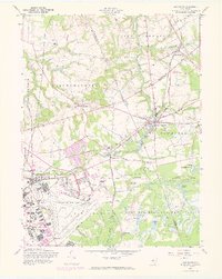
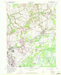
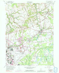
4 editions found
Other maps of this area

1884 · Whitings
USGS Topo · 1:62,500

1888 · Bordentown
USGS Topo · 1:62,500

1888 · Pemberton
USGS Topo · 1:62,500

1888 · Cassville
USGS Topo · 1:62,500

1888 · Whitings
USGS Topo · 1:62,500

1893 · Bordentown
USGS Topo · 1:62,500

1894 · Cassville
USGS Topo · 1:62,500

1894 · Pemberton
USGS Topo · 1:62,500

1898 · Pemberton
USGS Topo · 1:62,500

1900 · Cassville
USGS Topo · 1:62,500
Featured Places
- Plumsted Township, NJ
- Upper Freehold Township, NJ
- Chesterfield Township, NJ
- Springfield Township, NJ
- Wrightstown, NJ