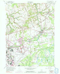
1957 Map of New Egypt
USGS Topo · Published 1992About this map
Mc Guire Air Force Base and the Fort Dix Military Reservation dominate the southern landscape of this mid-century survey, illustrating the significant military footprint in central New Jersey. The sprawling infrastructure of the air base, including its runways and the adjacent Fort Dix barracks, contrasts with the surrounding agricultural and swampy terrain. To the north, the Union Transportation Railroad cuts through the countryside, serving established settlements like New Egypt and Jacobstown. The map reveals a specialized local economy through several marked areas of Cranberry Bog and the distinctive Cranberry Hall. Waterways such as Crosswicks Creek and Lahaway Creek drain the region, while smaller communities like Arneytown and Sykesville maintain their traditional rural character amidst the expanding defense installations.
Find a feature on this map
51 named features on this map. Tap any name to fly to it.
Don’t see what you’re looking for? This feature index may not catch every label — zoom into the map to look around manually.
Map Details
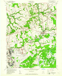
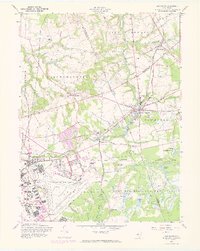
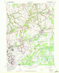
Editions of this 1957 New Egypt Map
4 editions found
Other maps of this area

1884 · Whitings
USGS Topo · 1:62,500

1888 · Bordentown
USGS Topo · 1:62,500

1888 · Pemberton
USGS Topo · 1:62,500

1888 · Cassville
USGS Topo · 1:62,500

1888 · Whitings
USGS Topo · 1:62,500

1893 · Bordentown
USGS Topo · 1:62,500

1894 · Cassville
USGS Topo · 1:62,500

1894 · Pemberton
USGS Topo · 1:62,500

1898 · Pemberton
USGS Topo · 1:62,500

1900 · Cassville
USGS Topo · 1:62,500
Featured Places
- Plumsted Township, NJ
- Upper Freehold Township, NJ
- Chesterfield Township, NJ
- Springfield Township, NJ
- Wrightstown, NJ