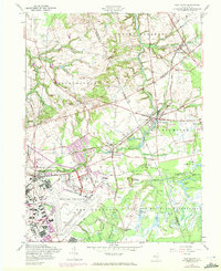
1957 Map of New Egypt
USGS Topo · Published 1972About this map
Mc Guire Air Force Base and the Fort Dix Military Reservation anchor this 1957 landscape, where the agricultural traditions of New Jersey meet mid-century military infrastructure. The map illustrates a significant era of expansion, with airfield runways and military housing developments contrasting sharply against the surrounding cranberry bogs near Cranberry Hall and the meandering waters of Crosswicks Creek. Local transit and economy are represented by the Union Transportation Co rail line, which connects the small agricultural hubs of New Egypt, Cookstown, and Jacobstown. The map includes purple photorevisions from the early 1970s, documenting new residential layouts in Wrightstown and suburban growth at the edge of the military installations. From the heights of Taylors Mountain to the waters of Brindle Lake, the survey captures a rural county border region in the midst of a suburban and federal transformation.
Find a feature on this map
48 named features on this map. Tap any name to fly to it.
Don’t see what you’re looking for? This feature index may not catch every label — zoom into the map to look around manually.
Map Details
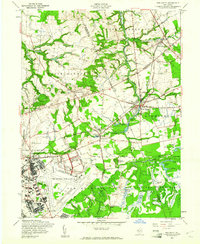
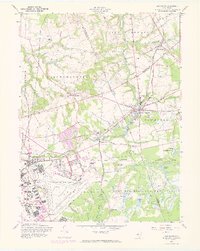
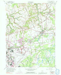
Editions of this 1957 New Egypt Map
4 editions found
Other maps of this area

1884 · Whitings
USGS Topo · 1:62,500

1888 · Bordentown
USGS Topo · 1:62,500

1888 · Pemberton
USGS Topo · 1:62,500

1888 · Cassville
USGS Topo · 1:62,500

1888 · Whitings
USGS Topo · 1:62,500

1893 · Bordentown
USGS Topo · 1:62,500

1894 · Cassville
USGS Topo · 1:62,500

1894 · Pemberton
USGS Topo · 1:62,500

1898 · Pemberton
USGS Topo · 1:62,500

1900 · Cassville
USGS Topo · 1:62,500
Featured Places
- Plumsted Township, NJ
- Upper Freehold Township, NJ
- Chesterfield Township, NJ
- Springfield Township, NJ
- Wrightstown, NJ