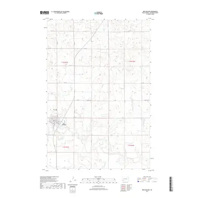
2017 Map of New England
USGS Topo · Published 2017About this map
New England serves as the primary hub for this portion of Hettinger County, positioned where the southern plains meet the winding course of the Cannonball River. The town's grid is defined by streets like Main St and McKenzie St, with the local Po and grain-handling history evidenced by Elevator Rd marking the town's western edge. The surrounding landscape follows the Public Land Survey System, with a precise network of section lines such as 59 St SW and 115 Ave SW cutting across the undulating terrain.
Find a feature on this map
29 named features on this map. Tap any name to fly to it.
Don’t see what you’re looking for? This feature index may not catch every label — zoom into the map to look around manually.
Map Details
Editions of this 2017 New England Map
This is the sole edition of this map. No revisions or reprints were ever made.
Other maps of this area

1953 · Dickinson
USGS Topo · 1:250,000

1957 · Dickinson
USGS Topo · 1:250,000

1973 · Lefor NW
USGS Topo · 1:24,000

1973 · New England NW
USGS Topo · 1:24,000

1973 · Jung Lake
USGS Topo · 1:24,000

1973 · New England
USGS Topo · 1:24,000

1973 · Lefor SW
USGS Topo · 1:24,000

1973 · Havelock
USGS Topo · 1:24,000

1973 · East Rainy Butte
USGS Topo · 1:24,000

1973 · Schefield
USGS Topo · 1:24,000