
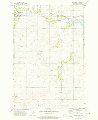
1973 Map of Schefield
USGS Topo · Published 1977About this map
Schefield anchors this prairie landscape on the border of Stark and Hettinger Counties, serving as a small focal point in an area dominated by rural land tracts and seasonal watercourses. The topographic data reveals a network of drainage patterns, most notably Antelope Creek and Dry Creek, which carve winding paths through the undulating terrain. A small Cemetery and multiple Wells near the settlement provide specific points of interest for genealogists tracing local family roots in this corner of North Dakota.
Find a feature on this map
14 named features on this map. Tap any name to fly to it.
Don’t see what you’re looking for? This feature index may not catch every label — zoom into the map to look around manually.
Map Details
Editions of this 1973 Schefield Map
This is the sole edition of this map. No revisions or reprints were ever made.
Other maps of this area

1953 · Dickinson
USGS Topo · 1:250,000

1957 · Dickinson
USGS Topo · 1:250,000

1959 · Dickinson South
USGS Topo · 1:24,000

1959 · Lehigh
USGS Topo · 1:24,000

1973 · Lefor NW
USGS Topo · 1:24,000

1973 · New England NW
USGS Topo · 1:24,000

1973 · New England
USGS Topo · 1:24,000

1973 · Lefor SW
USGS Topo · 1:24,000

1973 · New England SW
USGS Topo · 1:24,000
1973 · South Heart
USGS Topo · 1:24,000