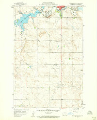
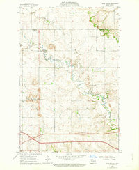
1959 Map of Dickinson South
USGS Topo · Published 1960About this map
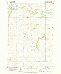
Lake Edward Arthur Patterson serves as a central hydrological feature on this landscape, formed along the course of Duck Creek just west of Dickinson. The city's southern expansion is evident through institutional landmarks like the St Benedict Home, St Joseph Sch, and the nearby St Joseph Cem. Transport and communication infrastructure are well-represented by the Northern Pacific railroad line and a Radio Range Station positioned north of the Dickinson Municipal Airport.
Find a feature on this map
20 named features on this map. Tap any name to fly to it.
Don’t see what you’re looking for? This feature index may not catch every label — zoom into the map to look around manually.
Map Details
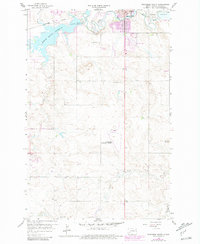
Editions of this 1959 Dickinson South Map
2 editions found
Other maps of this area

1953 · Dickinson
USGS Topo · 1:250,000

1957 · Dickinson
USGS Topo · 1:250,000
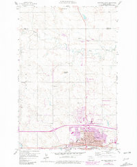
1959 · Dickinson North
USGS Topo · 1:24,000
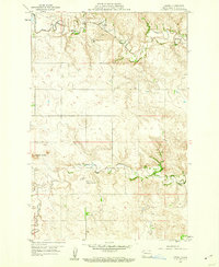
1959 · Lehigh
USGS Topo · 1:24,000
1962 · Davis Buttes
USGS Topo · 1:24,000
1973 · Lefor NW
USGS Topo · 1:24,000

1973 · New Hradec South
USGS Topo · 1:24,000
1973 · New England NW
USGS Topo · 1:24,000
1973 · Schefield
USGS Topo · 1:24,000
1973 · South Heart
USGS Topo · 1:24,000