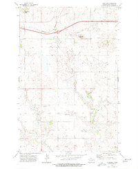
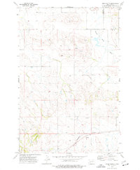
1973 Map of Antelope
USGS Topo · Published 1977About this map
Antelope sits at the intersection of industry and the open plains, situated along the Burlington Northern railroad in Stark County. This area of North Dakota is defined by prominent topographical markers like Young Mans Butte and Long Butte, which provided essential navigation points for early travelers and surveyors. The landscape is carved by the drainages of Spring Creek and Government Creek, showing a transition from open grazing land to the more broken terrain characteristic of the region. Evidence of mid-century infrastructure is visible through the presence of a pipeline and scattered storage bins, alongside the Custer Lookout, which serves as a notable high-point landmark. The map also records the modern development of Interstate 94, including a designated rest area, juxtaposing the speed of twentieth-century transit against the older, slower pace of the rail line and rural homesteads.
Find a feature on this map
14 named features on this map. Tap any name to fly to it.
Don’t see what you’re looking for? This feature index may not catch every label — zoom into the map to look around manually.
Map Details
Editions of this 1973 Antelope Map
This is the sole edition of this map. No revisions or reprints were ever made.
Other maps of this area

1953 · Dickinson
USGS Topo · 1:250,000

1957 · Dickinson
USGS Topo · 1:250,000

1960 · Clark Butte NW
USGS Topo · 1:24,000

1960 · Clark Butte NE
USGS Topo · 1:24,000

1960 · White Butte NE
USGS Topo · 1:24,000
1973 · Hebron SE
USGS Topo · 1:24,000
1973 · Hebron
USGS Topo · 1:24,000

1973 · Richardton SE
USGS Topo · 1:24,000
1973 · Richardton
USGS Topo · 1:24,000
1973 · Indian Butte
USGS Topo · 1:24,000