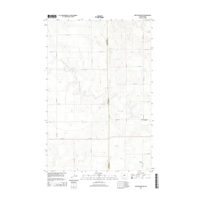
2014 Map of New England SW
USGS Topo · Published 2014About this map
The Cannonball River meanders across this high plains landscape, defining the transition between Slope and Hettinger counties. The terrain is characterized by a high-density grid of section roads, including 61st St SW and 118th Ave SW, which facilitate movement through this agricultural heartland. Near the southern edge of the survey, Schmidt Cem and Coon Cr provide specific points of interest for genealogists and local historians tracking family footprints in the region. The map captures the southwestern outskirts of New England, where the prairie gives way to the structured rural grid. This 2014 edition offers a precise look at the land's contours and drainage patterns as they existed in the early 21st century, reflecting a landscape shaped by both the winding river valley and the persistent geometry of North Dakota's road network.
Find a feature on this map
19 named features on this map. Tap any name to fly to it.
Don’t see what you’re looking for? This feature index may not catch every label — zoom into the map to look around manually.
Map Details
Editions of this 2014 New England SW Map
This is the sole edition of this map. No revisions or reprints were ever made.
Other maps of this area

1953 · Dickinson
USGS Topo · 1:250,000

1957 · Dickinson
USGS Topo · 1:250,000

1961 · Daglum
USGS Topo · 1:62,500

1973 · New England NW
USGS Topo · 1:24,000

1973 · Jung Lake
USGS Topo · 1:24,000

1973 · New England
USGS Topo · 1:24,000

1973 · West Rainy Butte
USGS Topo · 1:24,000

1973 · East Rainy Butte
USGS Topo · 1:24,000

1973 · Schefield
USGS Topo · 1:24,000

1973 · New England SW
USGS Topo · 1:24,000