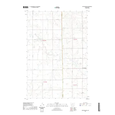
2020 Map of New England SW
USGS Topo · Published 2020About this map
The Cannonball River meanders across this rural section of the North Dakota plains, defining the topography of the southwest corner of the New England vicinity. This landscape is characterized by its organized section lines and agricultural layout, spanning the border between Hettinger and Slope counties. The map serves as a vital record for family researchers, anchoring the location of the German Lutheran Cem in the southeastern portion of the quadrangle near Coon Cr. The road network is primarily composed of established section-line routes such as 125th Ave SW and 60th St SW, which illustrate the enduring grid pattern of the region's land use and property boundaries.
Find a feature on this map
23 named features on this map. Tap any name to fly to it.
Don’t see what you’re looking for? This feature index may not catch every label — zoom into the map to look around manually.
Map Details
Editions of this 2020 New England SW Map
This is the sole edition of this map. No revisions or reprints were ever made.
Other maps of this area

1953 · Dickinson
USGS Topo · 1:250,000

1957 · Dickinson
USGS Topo · 1:250,000

1961 · Daglum
USGS Topo · 1:62,500

1973 · New England NW
USGS Topo · 1:24,000

1973 · Jung Lake
USGS Topo · 1:24,000

1973 · New England
USGS Topo · 1:24,000

1973 · West Rainy Butte
USGS Topo · 1:24,000

1973 · East Rainy Butte
USGS Topo · 1:24,000

1973 · Schefield
USGS Topo · 1:24,000

1973 · New England SW
USGS Topo · 1:24,000