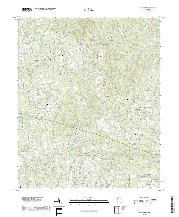
2024 Map of New Georgia
USGS Topo · Published 2024About this map
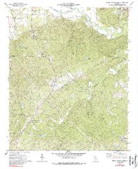
New Georgia and Union anchor this survey of the Paulding County uplands, where the landscape is defined by the headwaters of the Little Tallapoosa River and numerous winding creeks like Little Pumpkinvine Creek and Sweetwater Creek. The settlement pattern remains centered on country crossroads and rural congregations, evidenced by the concentration of cemeteries and churches such as Harmony Grove Church and the New Georgia Baptist Church. Small-scale aviation is represented by the Earl L. Small Jr Field/Stockmar Airport near the border with Carroll County.
Find a feature on this map
191 named features on this map. Tap any name to fly to it.
Don’t see what you’re looking for? This feature index may not catch every label — zoom into the map to look around manually.
Map Details
Editions of this 2024 New Georgia Map
This is the sole edition of this map. No revisions or reprints were ever made.
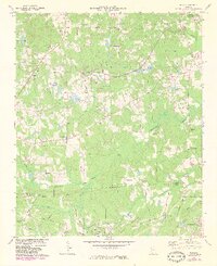
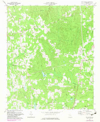
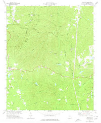
Historical Maps of Villa Rica Through Time
8 maps found