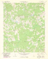
1973 Map of Nebo
USGS Topo · Published 1983About this map
Hiram serves as a central hub in this early 1970s landscape, where the Southern railroad line cuts through the northeastern corner of the map. The area is characterized by a high density of rural religious centers, including Marysville Ch, Bethany Ch, and the Star of Bethlehem Ch, indicating a deeply rooted community structure before the intensification of suburban sprawl from nearby Douglasville.
Find a feature on this map
50 named features on this map. Tap any name to fly to it.
Don’t see what you’re looking for? This feature index may not catch every label — zoom into the map to look around manually.
Map Details
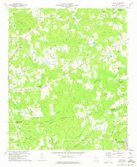
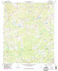
Editions of this 1973 Nebo Map
3 editions found
Other maps of this area

1891 · Marietta
USGS Topo · 1:125,000

1895 · Marietta
USGS Topo · 1:125,000

1897 · Marietta
USGS Topo · 1:125,000

1901 · Marietta
USGS Topo · 1:125,000

1953 · Atlanta
USGS Topo · 1:250,000

1954 · Campbellton
USGS Topo · 1:24,000
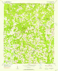
1954 · Lost Mountain
USGS Topo · 1:24,000

1954 · Austell
USGS Topo · 1:24,000

1957 · Atlanta
USGS Topo · 1:250,000

1958 · Atlanta
USGS Topo · 1:250,000