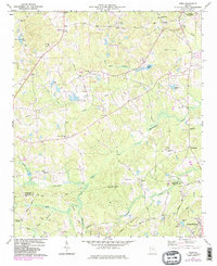
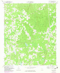
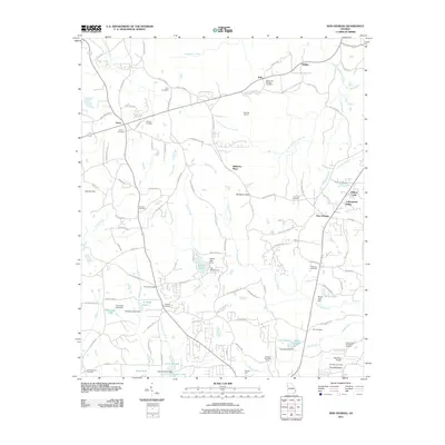
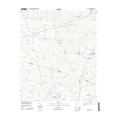
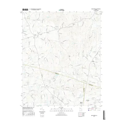
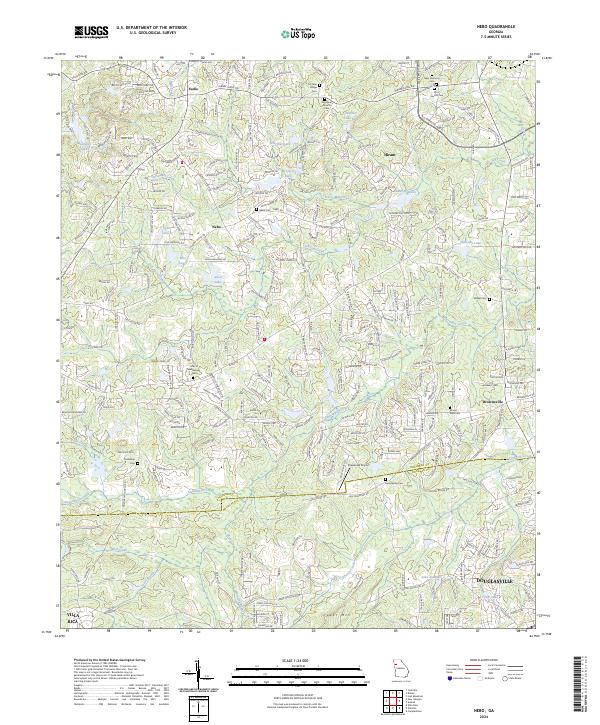
1973 Map of Nebo
USGS Topo · Published 1983About this map
Sweetwater Creek and its many tributaries, including Lick Log Creek and Davis Mill Creek, define the landscape of this region during the early 1970s. The map illustrates a rural environment in transition, where established settlements like Hiram and Sudie are joined by several religious and educational centers. Of particular note for genealogists and local historians are the numerous country churches scattered across the terrain, such as Cochran Ridge Ch, Bethany Ch, and Callie Harbin Ch. The southern portion of the sheet shows the expanding footprint of Douglasville near Cedar Mountain. Infrastructure of the era is represented by the Southern railway line in the northeast and a network of named local routes like Maroney Mill Road and Brittain Road, reflecting the agrarian and early suburban development of the Paulding and Douglas county line.
Find a feature on this map
53 named features on this map. Tap any name to fly to it.
Don’t see what you’re looking for? This feature index may not catch every label — zoom into the map to look around manually.
Map Details
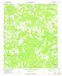
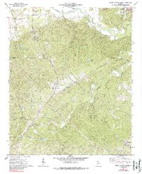
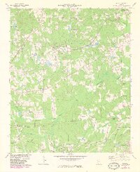
Editions of this 1973 Nebo Map
3 editions found
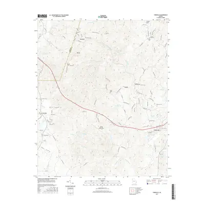
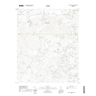
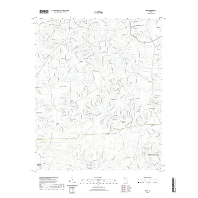
Historical Maps of Douglasville Through Time
24 maps found
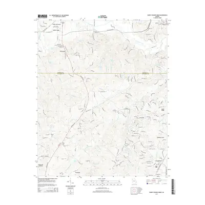
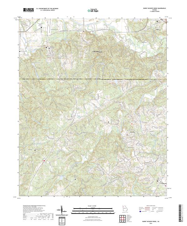
1972 Burnt Hickory Ridge
Paulding County, GA
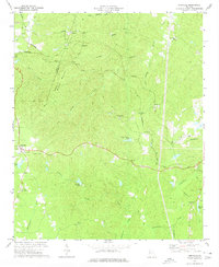
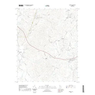
1973 Nebo
Paulding County, GA
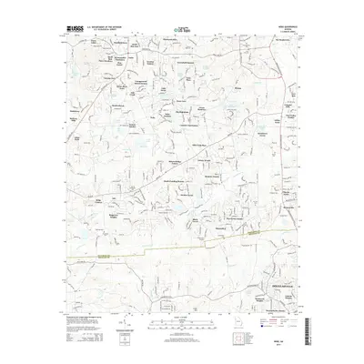
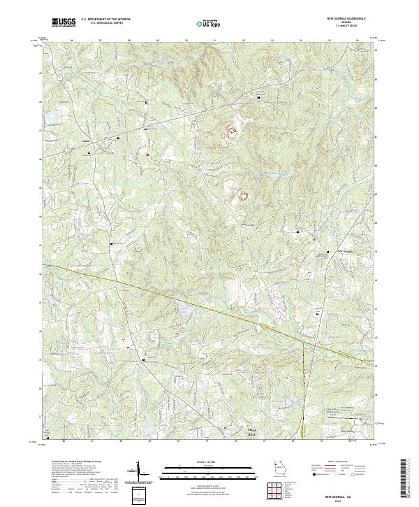
1973 New Georgia
Paulding County, GA
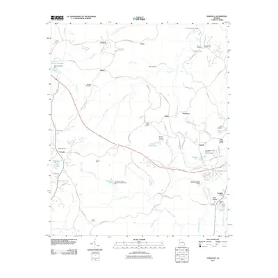
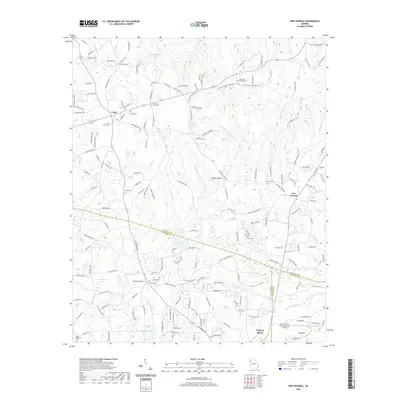
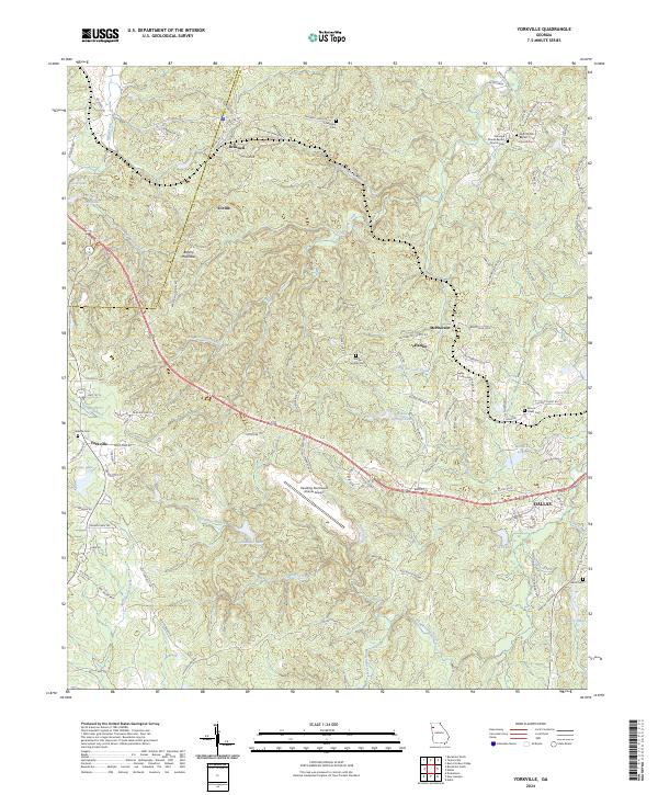
1973 Yorkville
Paulding County, GA
2011 Burnt Hickory Ridge
Paulding County, GA
2011 Nebo
Paulding County, GA
2011 New Georgia
Paulding County, GA
2011 Yorkville
Paulding County, GA
2014 Burnt Hickory Ridge
Paulding County, GA
2014 Nebo
Paulding County, GA
2014 New Georgia
Paulding County, GA
2014 Yorkville
Paulding County, GA
2017 Burnt Hickory Ridge
Paulding County, GA
2017 Nebo
Paulding County, GA
2017 New Georgia
Paulding County, GA
2017 Yorkville
Paulding County, GA
2020 Burnt Hickory Ridge
Paulding County, GA
2020 Nebo
Paulding County, GA
2020 New Georgia
Paulding County, GA
2020 Yorkville
Paulding County, GA
2024 Burnt Hickory Ridge
Paulding County, GA
2024 Nebo
Paulding County, GA
2024 New Georgia
Paulding County, GA
2024 Yorkville
Paulding County, GA