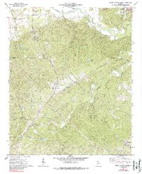
1972 Map of Burnt Hickory Ridge
USGS Topo · Published 1988About this map
The Etowah Indian Mounds stand near the northern bank of the Etowah River, marking a landscape of ancient significance alongside the 1970s development of Bartow and Paulding counties. This area is defined by its rural network of country churches and family-named landmarks, such as Harmony Grove Ch and Wards Chapel. The map reveals a transition from the industrial and transport hubs near Emerson and the Cartersville Airport to the more dispersed settlements of Crowville and Cross Roads.
Find a feature on this map
49 named features on this map. Tap any name to fly to it.
Don’t see what you’re looking for? This feature index may not catch every label — zoom into the map to look around manually.
Map Details
Editions of this 1972 Burnt Hickory Ridge Map
2 editions found
Other maps of this area

1890 · Cartersville
USGS Topo · 1:125,000

1891 · Marietta
USGS Topo · 1:125,000

1891 · Cartersville
USGS Topo · 1:125,000

1895 · Marietta
USGS Topo · 1:125,000

1896 · Cartersville
USGS Topo · 1:125,000

1897 · Marietta
USGS Topo · 1:125,000

1901 · Marietta
USGS Topo · 1:125,000

1906 · Stilesboro
USGS Topo · 1:62,500

1907 · Acworth
USGS Topo · 1:62,500

1908 · Stilesboro
USGS Topo · 1:62,500