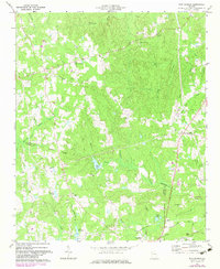
1973 Map of New Georgia
USGS Topo · Published 1983About this map
New Georgia and Union anchor this topographic survey of the rolling West Georgia terrain at the junction of Paulding, Carroll, and Douglas counties. The landscape is defined by the headwaters of the Little Tallapoosa River and the winding course of Pumpkinvine Creek, where small settlements and rural crossroads like Smyrna and Embry remained established through the early 1970s. This edition includes purple revisions from the 1980s, revealing suburban expansion and land-use shifts around Villa Rica in the south. Local history and genealogy are prominent across the sheet, from the Pine Log Cem and Zion Ch to the quiet Roadside Park and the varied water bodies such as Legion Lake, Lake Paradise, and Tumblins Lake. The map also captures infrastructure in transition, documenting a long pipeline corridor and the remnant traces of an Old Railroad Grade.
Find a feature on this map
43 named features on this map. Tap any name to fly to it.
Don’t see what you’re looking for? This feature index may not catch every label — zoom into the map to look around manually.
Map Details
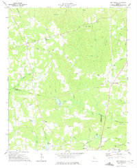
Editions of this 1973 New Georgia Map
2 editions found
Other maps of this area

1889 · Tallapoosa
USGS Topo · 1:125,000

1891 · Marietta
USGS Topo · 1:125,000

1892 · Tallapoosa
USGS Topo · 1:125,000

1895 · Marietta
USGS Topo · 1:125,000

1897 · Marietta
USGS Topo · 1:125,000

1897 · Tallapoosa
USGS Topo · 1:125,000

1901 · Marietta
USGS Topo · 1:125,000

1953 · Atlanta
USGS Topo · 1:250,000

1957 · Atlanta
USGS Topo · 1:250,000

1958 · Atlanta
USGS Topo · 1:250,000