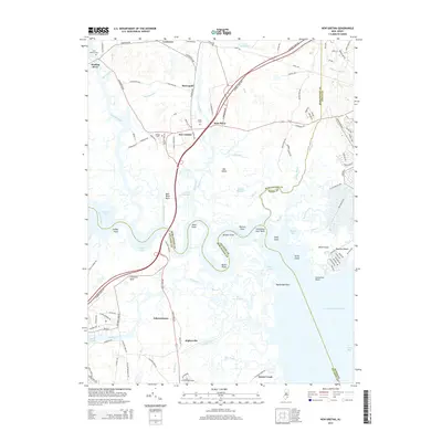
2014 Map of New Gretna
USGS Topo · Published 2014About this map
New Gretna sits at the heart of this coastal landscape, where the Mullica River meets a complex network of salt marshes and tidal channels. The settlement pattern here is defined by historical crossings and maritime proximity, with Higbeeville and Johnsontown situated along the western corridor while Osborne Island anchors the southeastern coastal developments. The intricate waterways, including the Loveland Thorofare and Mathis Thorofare, reveal a geography shaped by centuries of navigation and resource extraction from the surrounding bays.
Find a feature on this map
133 named features on this map. Tap any name to fly to it.
Don’t see what you’re looking for? This feature index may not catch every label — zoom into the map to look around manually.
Map Details
Editions of this 2014 New Gretna Map
This is the sole edition of this map. No revisions or reprints were ever made.
Other maps of this area

1887 · Atlantic City
USGS Topo · 1:62,500

1888 · Little Egg Harbor
USGS Topo · 1:62,500

1890 · Great Egg Harbor
USGS Topo · 1:62,500

1890 · Mullica
USGS Topo · 1:62,500

1893 · Great Egg Harbor
USGS Topo · 1:62,500

1893 · Little Egg Harbor
USGS Topo · 1:62,500

1894 · Atlantic City
USGS Topo · 1:62,500

1894 · Mullica
USGS Topo · 1:62,500

1898 · Mullica
USGS Topo · 1:62,500

1900 · Rancocas
USGS Topo · 1:125,000
Featured Places
- Galloway Township, NJ
- Little Egg Harbor Township, NJ
- Bass River Township, NJ
- Port Republic, NJ
- Washington Township, NJ