2023 Map of New Gretna
USGS Topo · Published 2023About this map
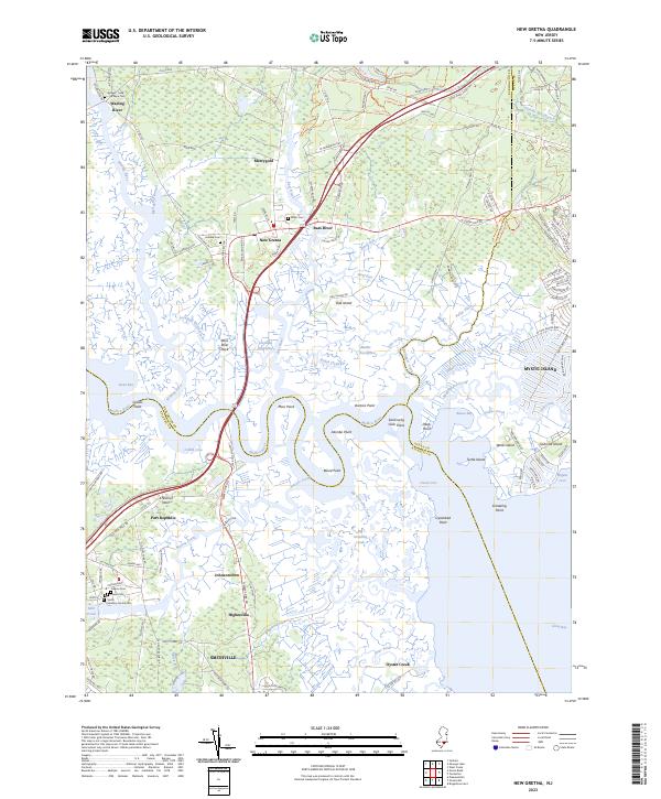
New Gretna sits at a critical hydrological junction where the Bass River and Wading River converge with the Mullica River, forming an intricate network of tidal thorofares and salt marshes. This modern survey illustrates the coastal geography of the New Jersey Pine Barrens, showing the transition from upland settlements like Merrygold and Port Republic to the expansive wetlands of Swan Bay and Goose Cove. The map is particularly useful for genealogical research, identifying numerous small family burial grounds including the Adams - Leek - McKeen Cem, Miller Cem, and the Smith Meeting House Cem. Landforms such as Chestnut Neck and Akimbo Point define the meandering river banks, while the development at Mystic Island contrasts with the protected reaches of Great Bay. Significant local landmarks like Osborne Island and the historical cluster at Smithville provide anchor points for understanding the region's coastal heritage and current topography.
Find a feature on this map
147 named features on this map. Tap any name to fly to it.
Don’t see what you’re looking for? This feature index may not catch every label — zoom into the map to look around manually.
Map Details
Editions of this 2023 New Gretna Map
This is the sole edition of this map. No revisions or reprints were ever made.
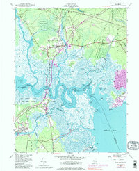
Historical Maps of Merrygold Through Time
Featured Locations
- Galloway Township, NJ
- Port Republic, NJ
- Little Egg Harbor Township, NJ
- Bass River Township, NJ
- Washington Township, NJ