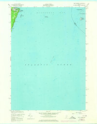
1955 Map of New Harbor
USGS Topo · Published 1974About this map
The rocky coastline of Pemaquid Neck defines the western edge of this coastal survey, where the village of New Harbor serves as a vital protected anchorage. In the mid-1950s, the landscape transitions from the residential and maritime density of the harbor to the elevated terrain of Lookout Hill. Beyond the immediate shore, the waters of Muscongus Bay are marked by significant navigational hazards including New Harbor Sunken Ledges and the prominent Moser Ledge further out in the Atlantic Ocean.
Find a feature on this map
18 named features on this map. Tap any name to fly to it.
Don’t see what you’re looking for? This feature index may not catch every label — zoom into the map to look around manually.
Map Details
Editions of this 1955 New Harbor Map
3 editions found
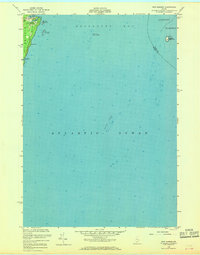
Other maps of this area

1893 · Boothbay
USGS Topo · 1:62,500

1904 · Monhegan
USGS Topo · 1:62,500

1906 · Monhegan
USGS Topo · 1:62,500

1941 · Boothbay
USGS Topo · 1:62,500

1943 · Boothbay
USGS Topo · 1:62,500

1944 · Boothbay
USGS Topo · 1:62,500

1948 · Bath
USGS Topo · 1:250,000
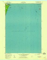
1955 · New Harbor
USGS Topo · 1:24,000
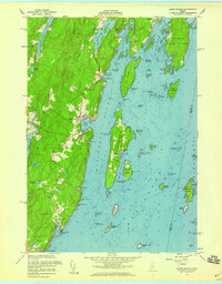
1955 · Louds Island
USGS Topo · 1:24,000
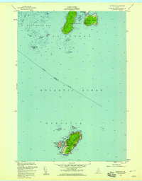
1955 · Monhegan
USGS Topo · 1:24,000