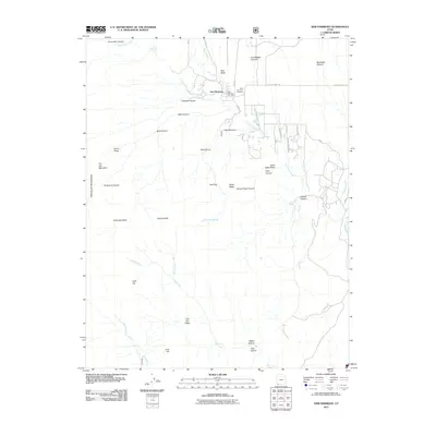
2011 Map of New Harmony
USGS Topo · Published 2011About this map
New Harmony serves as the focal point of this southwestern Utah landscape, situated at the base of the Pine Valley Mountains. The 2011 survey records the community’s infrastructure including the New Harmony Post Office and the New Harmony Cemetery, with local roads like Old State Hwy 144 and Rachel Ln connecting the residential area to the surrounding terrain.
Find a feature on this map
48 named features on this map. Tap any name to fly to it.
Don’t see what you’re looking for? This feature index may not catch every label — zoom into the map to look around manually.
Map Details
Editions of this 2011 New Harmony Map
This is the sole edition of this map. No revisions or reprints were ever made.
Other maps of this area

1885 · St. George
USGS Topo · 1:250,000

1891 · St. George
USGS Topo · 1:250,000

1950 · Kanarraville
USGS Topo · 1:24,000

1950 · Iron Mountain
USGS Topo · 1:62,500

1950 · Cedar City
USGS Topo · 1:62,500

1950 · Stoddard Mtn
USGS Topo · 1:24,000

1950 · Page Ranch
USGS Topo · 1:24,000

1951 · Kanarraville
USGS Topo · 1:24,000

1951 · Stoddard Mtn
USGS Topo · 1:24,000

1951 · Page Ranch
USGS Topo · 1:24,000