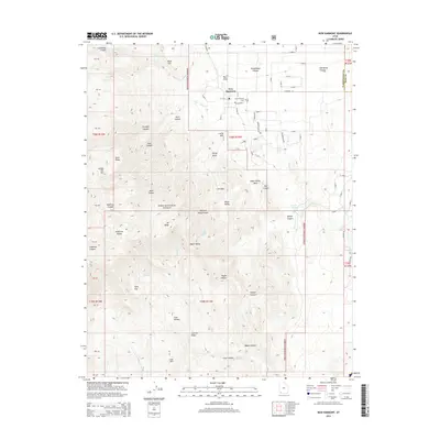
2014 Map of New Harmony
USGS Topo · Published 2014About this map
New Harmony serves as the central hub of this high-altitude landscape, situated at the boundary of Washington and Iron Counties. The town's grid is clearly defined by local routes such as E Center St and E Highway 144, with the New Harmony Cem positioned just north of the residential core. The topography is dominated by the dramatic rise of the Dixie National Forest, which blankets the western and southern reaches of the map.
Find a feature on this map
52 named features on this map. Tap any name to fly to it.
Don’t see what you’re looking for? This feature index may not catch every label — zoom into the map to look around manually.
Map Details
Editions of this 2014 New Harmony Map
This is the sole edition of this map. No revisions or reprints were ever made.
Other maps of this area

1885 · St. George
USGS Topo · 1:250,000

1891 · St. George
USGS Topo · 1:250,000

1950 · Kanarraville
USGS Topo · 1:24,000

1950 · Iron Mountain
USGS Topo · 1:62,500

1950 · Cedar City
USGS Topo · 1:62,500

1950 · Stoddard Mtn
USGS Topo · 1:24,000

1950 · Page Ranch
USGS Topo · 1:24,000

1951 · Kanarraville
USGS Topo · 1:24,000

1951 · Stoddard Mtn
USGS Topo · 1:24,000

1951 · Page Ranch
USGS Topo · 1:24,000