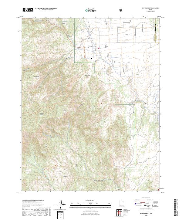
2023 Map of New Harmony
USGS Topo · Published 2023About this map
New Harmony serves as the gateway to a dramatic high-desert landscape where the Dixie National Forest meets the eastern edge of the Pine Valley Mountain Wilderness. The settlement pattern follows the drainage of North Ash Creek, with local history anchored by the New Harmony Cem and the Lee Family Cem along Harmony Heights Rd. The terrain is defined by extreme elevation changes, rising from the valley floor toward landmarks like Mt Baldy and Little Mtn.
Find a feature on this map
55 named features on this map. Tap any name to fly to it.
Don’t see what you’re looking for? This feature index may not catch every label — zoom into the map to look around manually.
Map Details
Editions of this 2023 New Harmony Map
This is the sole edition of this map. No revisions or reprints were ever made.
Other maps of this area

1885 · St. George
USGS Topo · 1:250,000

1891 · St. George
USGS Topo · 1:250,000

1950 · Kanarraville
USGS Topo · 1:24,000

1950 · Iron Mountain
USGS Topo · 1:62,500

1950 · Cedar City
USGS Topo · 1:62,500

1950 · Stoddard Mtn
USGS Topo · 1:24,000

1950 · Page Ranch
USGS Topo · 1:24,000

1951 · Kanarraville
USGS Topo · 1:24,000

1951 · Stoddard Mtn
USGS Topo · 1:24,000

1951 · Page Ranch
USGS Topo · 1:24,000