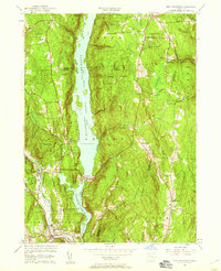
1956 Map of New Hartford
USGS Topo · Published 1959About this map
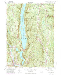
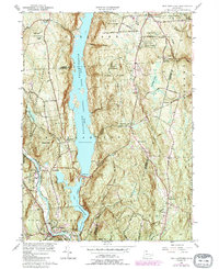
Saville Dam anchors the landscape of the Litchfield and Hartford county line, holding back the massive East Branch Farmington River Reservoir. This mid-century survey illustrates a region defined by its water management and forested terrain, with the West Branch Farmington River winding through the southwestern corner near New Hartford. The map captures the intersection of rural heritage and postwar recreation, evidenced by the cluster of small settlements like Barkhamsted Center and Goose Green alongside the mid-century Drive-in Theater near Pleasant Valley. Extensive public lands including Peoples State Forest and Tunxis State Forest dominate the hills, protecting many small brooks like Roaring Brook and Cherry Brook. Genealogists will find numerous family and local landmarks, from the Washington Hill Ch to the Barkhamsted Cem and North Canton Cem.
Find a feature on this map
47 named features on this map. Tap any name to fly to it.
Don’t see what you’re looking for? This feature index may not catch every label — zoom into the map to look around manually.
Map Details
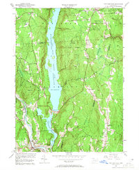
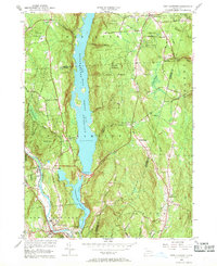
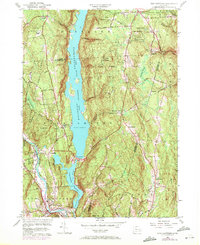
Editions of this 1956 New Hartford Map
6 editions found
Other maps of this area

1887 · Granville
USGS Topo · 1:62,500

1888 · Sandisfield
USGS Topo · 1:62,500

1889 · Granville
USGS Topo · 1:62,500

1892 · Winsted
USGS Topo · 1:62,500

1892 · Granby
USGS Topo · 1:62,500

1893 · Granville
USGS Topo · 1:62,500

1893 · Sandisfield
USGS Topo · 1:62,500

1895 · Granville
USGS Topo · 1:62,500

1896 · Holyoke
USGS Topo · 1:125,000

1897 · Sandisfield
USGS Topo · 1:62,500