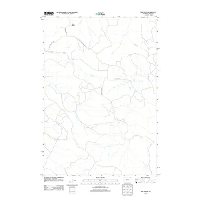
2012 Map of New Haven
USGS Topo · Published 2012About this map
New Haven is the primary settlement on this Crook County landscape, positioned at the junction of Mule Creek Rd and several regional county routes. The drainage patterns of northeastern Wyoming are clearly defined here, with Hulett Cr and Poison Cr carving through the terrain alongside other seasonal waterways like Music Cr and TL Cr. For those tracing local heritage, the New Haven Cem is a significant landmark located along the New Haven-Hulett-Prairie Creek Rd, providing a specific point of reference for family researchers. The map illustrates a rural network of roads including Barlow Canyon Rd and New Haven Rd, which connect the isolated homesteads and grazing lands typical of this high plains region.
Find a feature on this map
16 named features on this map. Tap any name to fly to it.
Don’t see what you’re looking for? This feature index may not catch every label — zoom into the map to look around manually.
Map Details
Editions of this 2012 New Haven Map
This is the sole edition of this map. No revisions or reprints were ever made.
Other maps of this area

1905 · Devils Tower
USGS Topo · 1:125,000

1954 · Strawberry Hill
USGS Topo · 1:24,000

1954 · Storm Hill
USGS Topo · 1:24,000

1954 · Missouri Buttes
USGS Topo · 1:24,000

1954 · Gillette
USGS Topo · 1:250,000

1955 · Devils Tower
USGS Topo · 1:62,500

1955 · Gillette
USGS Topo · 1:250,000

1957 · Oshoto
USGS Topo · 1:62,500

1957 · Seely
USGS Topo · 1:62,500

1957 · Cedar Ridge
USGS Topo · 1:62,500