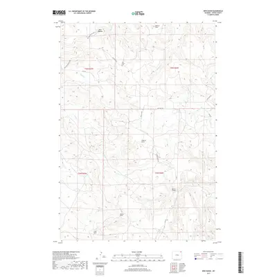
2017 Map of New Haven
USGS Topo · Published 2017About this map
New Haven serves as the focal point of this northeastern Wyoming landscape, where the high plains meet the intricate drainage systems of Crook County. The settlement and its nearby New Haven Cem are situated at a junction of early transit routes, including the New Haven-Rocky Point Rd and New Haven-Oshoto Co Rd. These pathways follow the natural contours of the land, navigating a series of named drainages that define the local geography.
Find a feature on this map
26 named features on this map. Tap any name to fly to it.
Don’t see what you’re looking for? This feature index may not catch every label — zoom into the map to look around manually.
Map Details
Editions of this 2017 New Haven Map
This is the sole edition of this map. No revisions or reprints were ever made.
Other maps of this area

1905 · Devils Tower
USGS Topo · 1:125,000

1954 · Strawberry Hill
USGS Topo · 1:24,000

1954 · Storm Hill
USGS Topo · 1:24,000

1954 · Missouri Buttes
USGS Topo · 1:24,000

1954 · Gillette
USGS Topo · 1:250,000

1955 · Devils Tower
USGS Topo · 1:62,500

1955 · Gillette
USGS Topo · 1:250,000

1957 · Oshoto
USGS Topo · 1:62,500

1957 · Seely
USGS Topo · 1:62,500

1957 · Cedar Ridge
USGS Topo · 1:62,500