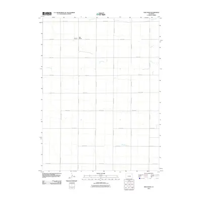
2010 Map of New Haven
USGS Topo · Published 2010About this map
New Haven serves as the focal point for this Logan County landscape, situated amid a highly structured network of section roads. The settlement is anchored by the New Haven Cemetery, which provides a vital touchstone for genealogical research in this part of eastern Colorado. This 2010 survey reflects a region defined by agricultural organization, where numbered and lettered routes like County Rd-57 and County Rd XX create a rigid grid across the terrain. While the human imprint is geometric, the natural drainage patterns of Patent Creek in the north, Coyote Creek through the center, and Red Willow Creek in the south introduce winding organic forms that break the symmetry of the section lines, illustrating how local waterways continue to influence the layout of rural land tracts.
Find a feature on this map
26 named features on this map. Tap any name to fly to it.
Don’t see what you’re looking for? This feature index may not catch every label — zoom into the map to look around manually.
Map Details
Editions of this 2010 New Haven Map
This is the sole edition of this map. No revisions or reprints were ever made.
Other maps of this area

1954 · Sterling
USGS Topo · 1:250,000

1958 · Sterling
USGS Topo · 1:250,000

1972 · Clarkville
USGS Topo · 1:24,000

1972 · New Haven
USGS Topo · 1:24,000

1972 · Glacken Hill
USGS Topo · 1:24,000

1972 · St Petersburg
USGS Topo · 1:24,000

1972 · Rockland
USGS Topo · 1:24,000

1972 · Lone Star
USGS Topo · 1:24,000

1972 · Clarkville SW
USGS Topo · 1:24,000

1972 · Leroy
USGS Topo · 1:24,000