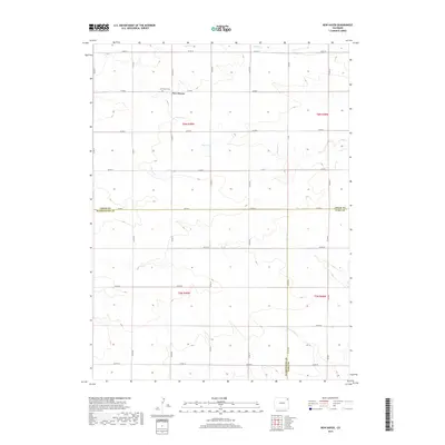
2019 Map of New Haven
USGS Topo · Published 2019About this map
New Haven occupies a remote stretch of the high plains where the borders of Logan, Washington, and Yuma counties converge. This 2019 survey illustrates a landscape defined by expansive section lines and intermittent drainage patterns, most notably the winding paths of Coyote Cr and Patent Cr. The small community center is anchored by the New Haven Cem, a significant site for local genealogical research in this sparsely populated agricultural region. The map reveals the intricate network of county roads, such as Co Rd 8 and Co Rd 79, which provide the primary framework for the scattered farmsteads and ranching operations that characterize this corner of Colorado. The convergence of three county lines—Logan, Washington, and Yuma—near the southern and eastern edges of the quadrangle highlights the administrative importance of this rural junction.
Find a feature on this map
11 named features on this map. Tap any name to fly to it.
Don’t see what you’re looking for? This feature index may not catch every label — zoom into the map to look around manually.
Map Details
Editions of this 2019 New Haven Map
This is the sole edition of this map. No revisions or reprints were ever made.
Other maps of this area

1954 · Sterling
USGS Topo · 1:250,000

1958 · Sterling
USGS Topo · 1:250,000

1972 · Clarkville
USGS Topo · 1:24,000

1972 · New Haven
USGS Topo · 1:24,000

1972 · Glacken Hill
USGS Topo · 1:24,000

1972 · St Petersburg
USGS Topo · 1:24,000

1972 · Rockland
USGS Topo · 1:24,000

1972 · Lone Star
USGS Topo · 1:24,000

1972 · Clarkville SW
USGS Topo · 1:24,000

1972 · Leroy
USGS Topo · 1:24,000