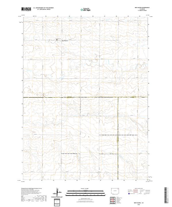
2022 Map of New Haven
USGS Topo · Published 2022About this map
New Haven sits at the northern end of this landscape, marking a central point for the local community where Co RD 8 meets Co RD 77. The area is characterized by a sparse network of county roads that traverse the high plains of northeastern Colorado, bridging the borders of Logan, Washington, and Yuma counties. The local history of the settlement is anchored by the New Haven Cem, a significant landmark for genealogical research in this rural expanse. Drainage patterns across the terrain are defined by several intermittent streams, including Patent Cr in the north and the winding paths of Coyote Cr and Red Willow Cr further south. This network of section lines and waterways illustrates the enduring structure of the region's agricultural and township organization.
Find a feature on this map
34 named features on this map. Tap any name to fly to it.
Don’t see what you’re looking for? This feature index may not catch every label — zoom into the map to look around manually.
Map Details
Editions of this 2022 New Haven Map
This is the sole edition of this map. No revisions or reprints were ever made.
Other maps of this area

1954 · Sterling
USGS Topo · 1:250,000

1958 · Sterling
USGS Topo · 1:250,000

1972 · Clarkville
USGS Topo · 1:24,000

1972 · New Haven
USGS Topo · 1:24,000

1972 · Glacken Hill
USGS Topo · 1:24,000

1972 · St Petersburg
USGS Topo · 1:24,000

1972 · Rockland
USGS Topo · 1:24,000

1972 · Lone Star
USGS Topo · 1:24,000

1972 · Clarkville SW
USGS Topo · 1:24,000

1972 · Leroy
USGS Topo · 1:24,000