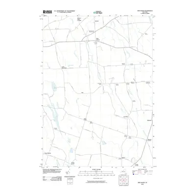
2010 Map of New Haven
USGS Topo · Published 2010About this map
New Haven serves as the central hub of this agricultural landscape in Oswego County, where established orchards and farmsteads define the rural character. Significant agricultural operations like Behling Orchards and Maple Help Stock Farms indicate the local economic focus, while the presence of the Demster Grove Camp Ground suggests a history of seasonal or religious gathering near Demster. The terrain is shaped by several meandering waterways, including Catfish Creek and Butterfly Creek, which thread between a series of named crossroads settlements such as Vermilion, North Volney, and Sayles Corners.
Find a feature on this map
81 named features on this map. Tap any name to fly to it.
Don’t see what you’re looking for? This feature index may not catch every label — zoom into the map to look around manually.
Map Details
Editions of this 2010 New Haven Map
This is the sole edition of this map. No revisions or reprints were ever made.
Other maps of this area

1895 · Pulaski
USGS Topo · 1:62,500

1900 · Fulton
USGS Topo · 1:62,500

1905 · Mexico
USGS Topo · 1:62,500

1943 · Pulaski
USGS Topo · 1:31,680

1943 · Oswego East
USGS Topo · 1:31,680

1943 · New Haven
USGS Topo · 1:31,680

1943 · Texas
USGS Topo · 1:31,680

1943 · Mexico
USGS Topo · 1:31,680

1943 · Pennellville
USGS Topo · 1:31,680

1943 · West Of Texas
USGS Topo · 1:31,680