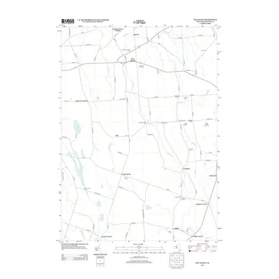
2013 Map of New Haven
USGS Topo · Published 2013About this map
New Haven serves as a central hub in this Oswego County landscape, where the geography is defined by the winding paths of Catfish Cr and Butterfly Cr. The area is notably characterized by its numerous rural burial grounds, including the New Haven Rural Cem and Arthur Cem, which anchor the local genealogical record. Agriculture and specialized land use are evident through features like the Behling Orchards, Maple Help Stock Farms, and the Demster Grove Camp Ground to the north. Smaller settlements and crossroads such as North Volney, Vermilion, and Clifford are connected by a network of county routes, reflecting a long-standing pattern of dispersed residential and farming communities. To the west, Lily Pond and Mud Pond break the terrain, while landmarks like Cummings Bridge and Austins Corners mark significant historical transit points across the creek-cut plains.
Find a feature on this map
88 named features on this map. Tap any name to fly to it.
Don’t see what you’re looking for? This feature index may not catch every label — zoom into the map to look around manually.
Map Details
Editions of this 2013 New Haven Map
This is the sole edition of this map. No revisions or reprints were ever made.
Other maps of this area

1895 · Pulaski
USGS Topo · 1:62,500

1900 · Fulton
USGS Topo · 1:62,500

1905 · Mexico
USGS Topo · 1:62,500

1943 · Pulaski
USGS Topo · 1:31,680

1943 · Oswego East
USGS Topo · 1:31,680

1943 · New Haven
USGS Topo · 1:31,680

1943 · Texas
USGS Topo · 1:31,680

1943 · Mexico
USGS Topo · 1:31,680

1943 · Pennellville
USGS Topo · 1:31,680

1943 · West Of Texas
USGS Topo · 1:31,680