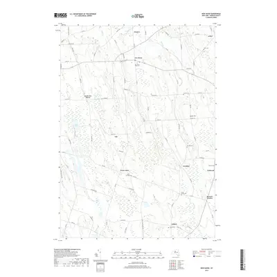
2019 Map of New Haven
USGS Topo · Published 2019About this map
New Haven serves as the central hub of this Oswego County landscape, situated at the intersection of route 104 and Co Rte 6. The surrounding terrain is defined by a dense network of wetlands and minor waterways, including the expansive Lily Marsh and Lily Pond, which drain toward Mud Pond. Local history is deeply embedded in the rural crossroads and family burial grounds that dot the countryside, with multiple small hamlets such as North Volney, Vermilion, and Sala maintaining their identities through the decades.
Find a feature on this map
82 named features on this map. Tap any name to fly to it.
Don’t see what you’re looking for? This feature index may not catch every label — zoom into the map to look around manually.
Map Details
Editions of this 2019 New Haven Map
This is the sole edition of this map. No revisions or reprints were ever made.
Other maps of this area

1895 · Pulaski
USGS Topo · 1:62,500

1900 · Fulton
USGS Topo · 1:62,500

1905 · Mexico
USGS Topo · 1:62,500

1943 · Pulaski
USGS Topo · 1:31,680

1943 · Oswego East
USGS Topo · 1:31,680

1943 · New Haven
USGS Topo · 1:31,680

1943 · Texas
USGS Topo · 1:31,680

1943 · Mexico
USGS Topo · 1:31,680

1943 · Pennellville
USGS Topo · 1:31,680

1943 · West Of Texas
USGS Topo · 1:31,680