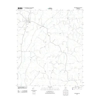
2024 Map of New Hebron
USGS Topo · Published 2024About this map
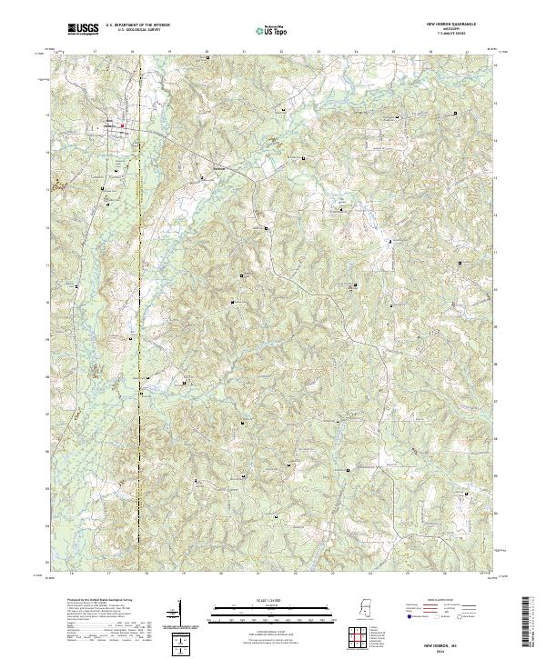
The town of New Hebron serves as the focal point for this survey along the border of Lawrence and Jefferson Davis Counties. The landscape is defined by the drainage basins of Silver Creek and its major tributaries, including the West Prong Silver Creek and East Prong Silver Creek. This area of Mississippi maintains a traditional rural character, evidenced by the high density of family and community burial grounds such as Hartzog Cem, Dampeer Cem, and Magee Cem scattered throughout the woodland and creek valleys. Historically significant transport routes like Bouje Ferry Rd and the network surrounding the smaller settlement of Hebron highlight the local movement patterns between the various forks and hollows. The presence of Hooker Hollow Creek and Fiddlers Creek indicates a terrain deeply carved by water, shaping the placement of homes and roads over generations.
Find a feature on this map
111 named features on this map. Tap any name to fly to it.
Don’t see what you’re looking for? This feature index may not catch every label — zoom into the map to look around manually.
Map Details
Editions of this 2024 New Hebron Map
This is the sole edition of this map. No revisions or reprints were ever made.
Historical Maps of New Hebron Through Time
6 maps found