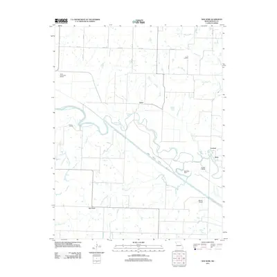
2011 Map of New Home
USGS Topo · Published 2011About this map
The Marais des Cygnes River meanders across this rural section of Bates County, defining a landscape of agricultural lowlands and engineered drainage. The presence of the Bates County Ditch running parallel to the river reflects a long history of water management designed to reclaim fertile bottomlands for farming. Small, established communities like New Home, Nyhart, Athol, and Cornland are scattered across the quadrangle, connected by a grid of rural roads such as Miller Rd and Tiona Rd.
Find a feature on this map
29 named features on this map. Tap any name to fly to it.
Don’t see what you’re looking for? This feature index may not catch every label — zoom into the map to look around manually.
Map Details
Editions of this 2011 New Home Map
This is the sole edition of this map. No revisions or reprints were ever made.
Other maps of this area

1887 · Butler
USGS Topo · 1:125,000

1887 · Mound City
USGS Topo · 1:125,000

1893 · Mound City
USGS Topo · 1:125,000

1894 · Butler
USGS Topo · 1:125,000

1936 · Rich Hill
USGS Topo · 1:24,000

1937 · New Home
USGS Topo · 1:24,000

1938 · Worland
USGS Topo · 1:24,000

1940 · Worland
USGS Topo · 1:24,000

1940 · Hume
USGS Topo · 1:24,000

1942 · Hume
USGS Topo · 1:24,000