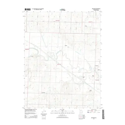
2014 Map of New Home
USGS Topo · Published 2014About this map
The Marais des Cygnes River meanders across this landscape, defining the rural character of western Missouri near the Kansas border. This river valley is marked by significant topographical and hydrological modifications, including the extensive Bates County Drainage Ditch and several lateral channels designed to manage the floodplain. Distinctive river features such as Big Shoe Bend and Double S Bend illustrate the natural winding path of the water before it meets engineered straights. Local history is anchored by the small settlements of New Home and Nyhart, alongside rural intersections like Cornland and Athol. Genealogists can find the locations of Morris Cemetery and Thomas Cemetery, which serve as quiet landmarks among the section lines and farm roads. The presence of Brushy Mound provides a rare point of elevation in an otherwise low-lying drainage basin.
Find a feature on this map
38 named features on this map. Tap any name to fly to it.
Don’t see what you’re looking for? This feature index may not catch every label — zoom into the map to look around manually.
Map Details
Editions of this 2014 New Home Map
This is the sole edition of this map. No revisions or reprints were ever made.
Other maps of this area

1887 · Butler
USGS Topo · 1:125,000

1887 · Mound City
USGS Topo · 1:125,000

1893 · Mound City
USGS Topo · 1:125,000

1894 · Butler
USGS Topo · 1:125,000

1936 · Rich Hill
USGS Topo · 1:24,000

1937 · New Home
USGS Topo · 1:24,000

1938 · Worland
USGS Topo · 1:24,000

1940 · Worland
USGS Topo · 1:24,000

1940 · Hume
USGS Topo · 1:24,000

1942 · Hume
USGS Topo · 1:24,000