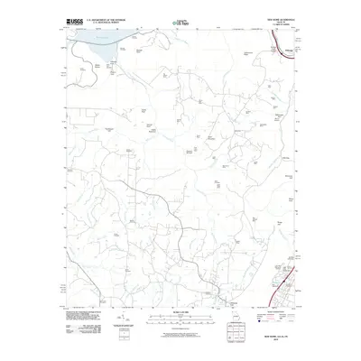
2010 Map of New Home
USGS Topo · Published 2010About this map
Industrial history and topographic transitions define this corner of the South where the Sand Mountain plateau meets the lowlands. The landscape is heavily marked by its coal-mining legacy, featuring numerous operations like the Dade Mine, Cole City Mine, and New South Mine. These sites are concentrated among deep geological cuts such as Castle Rock Gulf and Squirrel Tail Gulf, reflecting a time when the region's economy was deeply tied to extraction.
Find a feature on this map
78 named features on this map. Tap any name to fly to it.
Don’t see what you’re looking for? This feature index may not catch every label — zoom into the map to look around manually.
Map Details
Editions of this 2010 New Home Map
This is the sole edition of this map. No revisions or reprints were ever made.
Other maps of this area

1886 · Ringgold
USGS Topo · 1:125,000

1886 · Stevenson
USGS Topo · 1:125,000

1888 · Chattanooga
USGS Topo · 1:125,000

1892 · Ringgold
USGS Topo · 1:125,000

1892 · Stevenson
USGS Topo · 1:125,000

1893 · Chattanooga
USGS Topo · 1:125,000

1895 · Stevenson
USGS Topo · 1:125,000

1895 · Sewanee
USGS Topo · 1:125,000

1935 · Durham
USGS Topo · 1:24,000

1936 · Trenton
USGS Topo · 1:24,000