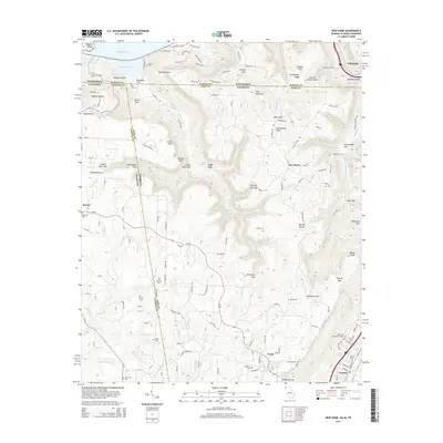
2014 Map of New Home
USGS Topo · Published 2014About this map
Sand Mountain dominates the center of this tri-state region, where the borders of Tennessee, Alabama, and Georgia converge at a single point near Nickajack Lake. The terrain is defined by deep incisions like Alley Gulf, Rattlesnake Gulf, and Richmond Gulf, which drop away from the high plateau. The settlement of Trenton sits in the valley at the southeast, while smaller communities such as New Home, Cole City, and Bryant occupy the higher elevations and ridge lines. Genealogists will find a high density of burial sites across the landscape, from the Lake Hills Memorial Gardens near Trenton to family and community grounds like Ebenezer Cem, Porter Cem, and the State Line Cem. The complex drainage system including Cole City Creek and Running Water Creek highlights the intricate network of water that carved the numerous gulfs and hollows of this portion of the Cumberland Plateau.
Find a feature on this map
166 named features on this map. Tap any name to fly to it.
Don’t see what you’re looking for? This feature index may not catch every label — zoom into the map to look around manually.
Map Details
Editions of this 2014 New Home Map
This is the sole edition of this map. No revisions or reprints were ever made.
Other maps of this area

1886 · Ringgold
USGS Topo · 1:125,000

1886 · Stevenson
USGS Topo · 1:125,000

1888 · Chattanooga
USGS Topo · 1:125,000

1892 · Ringgold
USGS Topo · 1:125,000

1892 · Stevenson
USGS Topo · 1:125,000

1893 · Chattanooga
USGS Topo · 1:125,000

1895 · Stevenson
USGS Topo · 1:125,000

1895 · Sewanee
USGS Topo · 1:125,000

1935 · Durham
USGS Topo · 1:24,000

1936 · Trenton
USGS Topo · 1:24,000