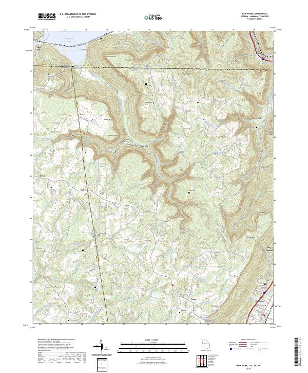
2024 Map of New Home
USGS Topo · Published 2024About this map
Sand Mountain dominates the central landscape of this tri-state border region, where Tennessee, Alabama, and Georgia converge. The topography is defined by dramatic gulfs and coves, most notably Nickajack Cove and the deeply recessed Scratch Ankle Hollow. The settlement of Cole City sits along the winding path of Cole City Creek, illustrating the historical reliance on these narrow valley floors for habitation and transport between the high ridges. To the north, the waters of Nickajack Lake reach into the terrain, while the southern portion of the sheet transitions into the more developed area around Trenton, the county seat.
Find a feature on this map
150 named features on this map. Tap any name to fly to it.
Don’t see what you’re looking for? This feature index may not catch every label — zoom into the map to look around manually.
Map Details
Editions of this 2024 New Home Map
This is the sole edition of this map. No revisions or reprints were ever made.
Other maps of this area

1886 · Ringgold
USGS Topo · 1:125,000

1886 · Stevenson
USGS Topo · 1:125,000

1888 · Chattanooga
USGS Topo · 1:125,000

1892 · Ringgold
USGS Topo · 1:125,000

1892 · Stevenson
USGS Topo · 1:125,000

1893 · Chattanooga
USGS Topo · 1:125,000

1895 · Stevenson
USGS Topo · 1:125,000

1895 · Sewanee
USGS Topo · 1:125,000

1935 · Durham
USGS Topo · 1:24,000

1936 · Trenton
USGS Topo · 1:24,000