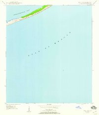
1950 Map of New Inlet
USGS Topo · Published 1960About this map
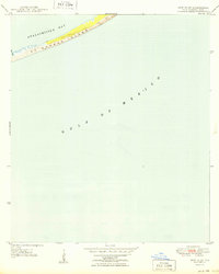
St George Island stretches across the northern portion of this coastal survey, serving as a narrow barrier between the expansive Gulf of Mexico and the calmer waters of Apalachicola Bay. Compiled from 1942 aerial photography and 1949 field work, the map captures the island in a primitive state, defined primarily by shifting sand and prominent dunes rather than human development. The western edge of the sheet is defined by New Inlet, a critical hydrological breach where the bay meets the open sea. This documentation provides a clear view of the barrier island's morphology mid-century, reflecting a time when the Gulf coast landscape was shaped almost entirely by maritime weather patterns and tidal currents rather than infrastructure.
Find a feature on this map
6 named features on this map. Tap any name to fly to it.
Don’t see what you’re looking for? This feature index may not catch every label — zoom into the map to look around manually.
Map Details
Editions of this 1950 New Inlet Map
3 editions found
Other maps of this area

1943 · West Pass
USGS Topo · 1:31,680

1943 · Apalachicola
USGS Topo · 1:31,680

1944 · Apalachicola
USGS Topo · 1:24,000

1945 · Cape St. George
USGS Topo · 1:31,680

1949 · Apalachicola
USGS Topo · 1:250,000

1950 · Goose Island
USGS Topo · 1:31,680
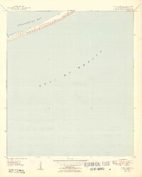
1950 · New Inlet
USGS Topo · 1:31,680

1957 · Apalachicola
USGS Topo · 1:250,000

1959 · Apalachicola
USGS Topo · 1:250,000
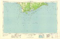
1960 · Apalachicola
USGS Topo · 1:250,000