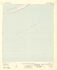
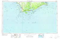
1950 Map of New Inlet
USGS Topo · Published 1950About this map
St George Island stretches across this mid-century maritime study, forming a narrow barrier between the open Gulf of Mexico and the protected waters of Apalachicola Bay. The topography, recorded in 1949 by plane-table methods, captures the shifting coastal environment of sand and dunes before modern development or major shoreline shifts. At the western edge of the sheet, the passage known as New Inlet cuts through the island, a feature of significant interest to those tracing the historical hydrology and navigation of the Florida panhandle. This map focuses on the raw physical geography of the barrier system, providing a clean record of the coastal profile as it existed just after the war.
Find a feature on this map
6 named features on this map. Tap any name to fly to it.
Don’t see what you’re looking for? This feature index may not catch every label — zoom into the map to look around manually.
Map Details
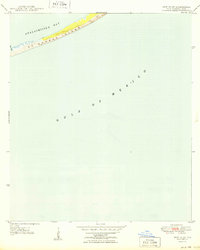
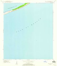
Editions of this 1950 New Inlet Map
3 editions found
Other maps of this area

1943 · West Pass
USGS Topo · 1:31,680

1943 · Apalachicola
USGS Topo · 1:31,680

1944 · Apalachicola
USGS Topo · 1:24,000

1945 · Cape St. George
USGS Topo · 1:31,680

1949 · Apalachicola
USGS Topo · 1:250,000

1950 · Goose Island
USGS Topo · 1:31,680

1957 · Apalachicola
USGS Topo · 1:250,000

1959 · Apalachicola
USGS Topo · 1:250,000
1960 · Apalachicola
USGS Topo · 1:250,000
1967 · Apalachicola
USGS Topo · 1:250,000