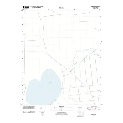
2010 Map of New Lake
USGS Topo · Published 2010About this map
New Lake dominates this coastal North Carolina landscape, its shallow waters and distinctive shoreline reflecting the unique geography of the Inner Banks. This 2010 survey by the U.S. Geological Survey reveals a terrain defined by water management and drainage, where the Dunbar Canal and the Southwest Fork Alligator River intersect with the low-lying reaches of Long Ridge. The presence of the New Lake Fork and the rural road NC-1303 illustrates the sparse but structured infrastructure of Hyde County. The grid-like patterns of canals and ditches surrounding the lake are characteristic of the region's historical efforts to drain and utilize the peaty soils of the Albemarle-Pamlico Peninsula, showing how human engineering has shaped this aquatic environment over decades.
Find a feature on this map
6 named features on this map. Tap any name to fly to it.
Don’t see what you’re looking for? This feature index may not catch every label — zoom into the map to look around manually.
Map Details
Editions of this 2010 New Lake Map
This is the sole edition of this map. No revisions or reprints were ever made.
Other maps of this area

1943 · Columbia
USGS Topo · 1:125,000

1951 · Fairfield
USGS Topo · 1:24,000

1951 · Ponzer
USGS Topo · 1:24,000

1951 · New Lake SE
USGS Topo · 1:24,000

1953 · Scotia
USGS Topo · 1:24,000

1953 · Fairfield NW
USGS Topo · 1:24,000

1953 · Rocky Mount
USGS Topo · 1:250,000

1954 · Rocky Mount
USGS Topo · 1:250,000
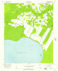
1954 · Creswell
USGS Topo · 1:24,000
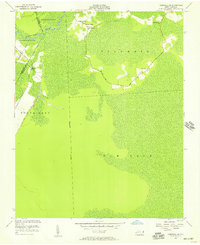
1954 · Creswell SE
USGS Topo · 1:24,000