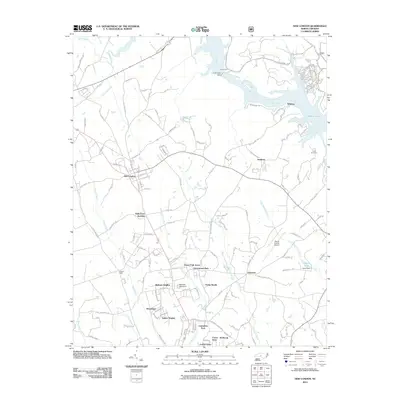
2011 Map of New London
USGS Topo · Published 2011About this map
New London stands as a primary hub in this portion of Stanly County, situated at the junction of several critical regional roads. The landscape is defined by its relationship to the Yadkin River, which flows into Badin Lake and is managed by the Tuckertown Dam to the north. These waterways, along with Town Creek and Mountain Creek, historically shaped the settlement patterns of the area, supporting early industry at sites like Austin Mills.
Find a feature on this map
156 named features on this map. Tap any name to fly to it.
Don’t see what you’re looking for? This feature index may not catch every label — zoom into the map to look around manually.
Map Details
Editions of this 2011 New London Map
This is the sole edition of this map. No revisions or reprints were ever made.
Other maps of this area

1949 · High Rock
USGS Topo · 1:24,000

1953 · Charlotte
USGS Topo · 1:250,000

1954 · Charlotte
USGS Topo · 1:250,000

1957 · Mount Pleasant
USGS Topo · 1:62,500

1957 · Albemarle
USGS Topo · 1:62,500

1957 · Denton
USGS Topo · 1:62,500

1960 · Charlotte
USGS Topo · 1:250,000

1962 · Charlotte
USGS Topo · 1:250,000
1962 · Gold Hill
USGS Topo · 1:24,000
1977 · High Rock
USGS Topo · 1:24,000