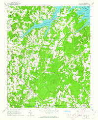
1962 Map of Gold Hill
USGS Topo · Published 1964About this map
High Rock Lake dominates the northern landscape of this survey, where the Yadkin River meets the rural borders of Rowan, Davidson, and Stanly Counties. The map reveals a deeply established network of community landmarks, particularly clustered around the historic settlement of Gold Hill. This area, once famous for its nineteenth-century mining activity, is shown here as a quiet crossroads where the Southern railroad line still tracks through the countryside.
Find a feature on this map
52 named features on this map. Tap any name to fly to it.
Don’t see what you’re looking for? This feature index may not catch every label — zoom into the map to look around manually.
Map Details
Editions of this 1962 Gold Hill Map
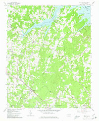
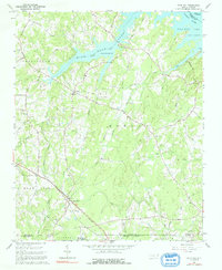
3 editions found
Other maps of this area

1949 · High Rock
USGS Topo · 1:24,000

1949 · Denton NW
USGS Topo · 1:24,000

1953 · Charlotte
USGS Topo · 1:250,000

1954 · Charlotte
USGS Topo · 1:250,000

1957 · Mount Pleasant
USGS Topo · 1:62,500

1957 · Albemarle
USGS Topo · 1:62,500

1957 · Denton
USGS Topo · 1:62,500

1960 · Charlotte
USGS Topo · 1:250,000

1962 · Charlotte
USGS Topo · 1:250,000

1962 · Southmont
USGS Topo · 1:24,000