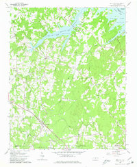
1962 Map of Gold Hill
USGS Topo · Published 1980About this map
Gold Hill stands as the primary southern hub in this 1962 survey of the Rowan and Cabarrus county borderlands. The landscape is defined by the expansive High Rock Lake in the north, where Second Creek and Panther Creek flow into the reservoir near Panther Pt. A network of historic thoroughfares, including Stokes Ferry Road and Old Beatty Ford Road, connects rural settlements like Flat and Liberty. Evidence of the area's geological industry is visible via a Quarry and Sandpit located near the Southern railroad line. Local genealogy is well-documented through numerous country churches and burial sites such as Zion Ch, St Peters Cem, and the Morgan Cem. The map provides a clear picture of the Piedmont region before modern suburban expansion, centered on the historic mining and agricultural community of Gold Hill.
Find a feature on this map
43 named features on this map. Tap any name to fly to it.
Don’t see what you’re looking for? This feature index may not catch every label — zoom into the map to look around manually.
Map Details
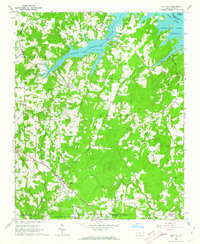
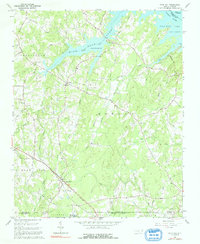
Editions of this 1962 Gold Hill Map
3 editions found
Other maps of this area

1949 · High Rock
USGS Topo · 1:24,000

1949 · Denton NW
USGS Topo · 1:24,000

1953 · Charlotte
USGS Topo · 1:250,000

1954 · Charlotte
USGS Topo · 1:250,000

1957 · Mount Pleasant
USGS Topo · 1:62,500

1957 · Albemarle
USGS Topo · 1:62,500

1957 · Denton
USGS Topo · 1:62,500

1960 · Charlotte
USGS Topo · 1:250,000

1962 · Charlotte
USGS Topo · 1:250,000

1962 · Southmont
USGS Topo · 1:24,000