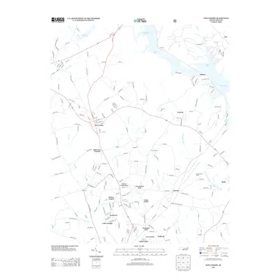
2013 Map of New London
USGS Topo · Published 2013About this map
New London stands as the central hub of this northern Stanly County landscape, where the intersections of Old US 52 Hwy and NC 8 Hwy coordinate the movement of local commerce and transport. The eastern edge is defined by the significant hydraulic geography of Tuckertown Reservoir and Badin Lake, creating a complex shoreline that shapes the surrounding residential developments.
Find a feature on this map
188 named features on this map. Tap any name to fly to it.
Don’t see what you’re looking for? This feature index may not catch every label — zoom into the map to look around manually.
Map Details
Editions of this 2013 New London Map
This is the sole edition of this map. No revisions or reprints were ever made.
Other maps of this area
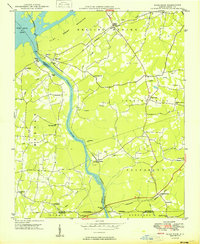
1949 · High Rock
USGS Topo · 1:24,000

1953 · Charlotte
USGS Topo · 1:250,000

1954 · Charlotte
USGS Topo · 1:250,000
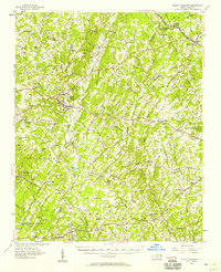
1957 · Mount Pleasant
USGS Topo · 1:62,500
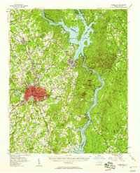
1957 · Albemarle
USGS Topo · 1:62,500
1957 · Denton
USGS Topo · 1:62,500

1960 · Charlotte
USGS Topo · 1:250,000

1962 · Charlotte
USGS Topo · 1:250,000
1962 · Gold Hill
USGS Topo · 1:24,000
1977 · High Rock
USGS Topo · 1:24,000