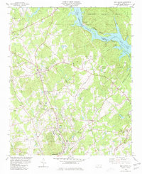
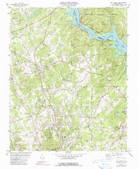
1980 Map of New London
USGS Topo · Published 1980About this map
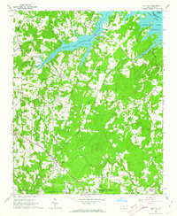
New London and the surrounding rural communities of Palestine and Isenhour sit at a geographic crossroads defined by heavy industry and natural beauty in the late 1970s. The eastern edge of the map is dominated by the Yadkin River corridor, where the Tuckertown Reservoir meets Badin Lake at the Tuckertown Dam. This area reveals the vital energy infrastructure of the era, including a Powerplant and massive Substation facilities.
Find a feature on this map
46 named features on this map. Tap any name to fly to it.
Don’t see what you’re looking for? This feature index may not catch every label — zoom into the map to look around manually.
Map Details
Editions of this 1980 New London Map
2 editions found
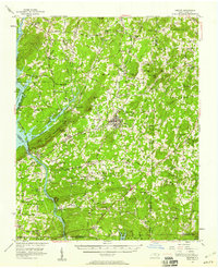
Other maps of this area
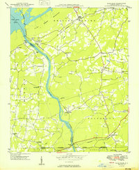
1949 · High Rock
USGS Topo · 1:24,000

1953 · Charlotte
USGS Topo · 1:250,000

1954 · Charlotte
USGS Topo · 1:250,000

1957 · Mount Pleasant
USGS Topo · 1:62,500

1957 · Albemarle
USGS Topo · 1:62,500
1957 · Denton
USGS Topo · 1:62,500

1960 · Charlotte
USGS Topo · 1:250,000

1962 · Charlotte
USGS Topo · 1:250,000
1962 · Gold Hill
USGS Topo · 1:24,000

1977 · High Rock
USGS Topo · 1:24,000