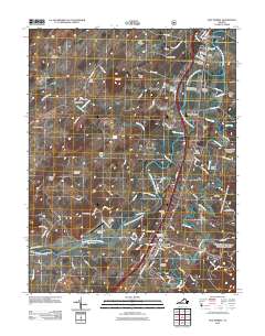
2011 Map of New Market
USGS Topo · Published 2011About this map
The North Fork Shenandoah River winds through this Shenandoah Valley landscape, passing significant landmarks like the Meems Bottom Covered Bridge and the popular Shenandoah Caverns. Centered on the town of New Market, the map shows a corridor of history and transport defined by the Norfolk Southern railroad and a network of older settlements such as Mount Jackson, Forestville, and Quicksburg. Genealogists will find many burial grounds documented, including Saint Marys Cemetery, Solomons Cemetery, and the Reformation Cemetery.
Find a feature on this map
110 named features on this map. Tap any name to fly to it.
Don’t see what you’re looking for? This feature index may not catch every label — zoom into the map to look around manually.
Map Details
Editions of this 2011 New Market Map
This is the sole edition of this map. No revisions or reprints were ever made.
Other maps of this area

1892 · Woodstock
USGS Topo · 1:125,000

1921 · Orkney Springs
USGS Topo · 1:48,000

1923 · Orkney Springs
USGS Topo · 1:62,500

1923 · Edinburg
USGS Topo · 1:62,500

1940 · Orkney Springs
USGS Topo · 1:48,000

1942 · Mt Jackson
USGS Topo · 1:62,500

1943 · Orkney Springs
USGS Topo · 1:62,500

1944 · Orkney Springs
USGS Topo · 1:62,500

1946 · Mt Jackson
USGS Topo · 1:62,500

1947 · Mt Jackson
USGS Topo · 1:62,500