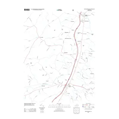
2013 Map of New Market
USGS Topo · Published 2013About this map
The N Fork Shenandoah River winds through this section of the Shenandoah Valley, anchoring a landscape defined by its deep agricultural and transportation history. In the northern reaches, the Meems Bottom Covered Bridge spans the water near Meems Bottom, while further south, the town of New Market serves as a central hub. This corridor is rich with historical landmarks, including the Bushong Farm and the dramatic topography of Battlefield Bluff. The map illustrates a developed rural economy where traditional farming at Cedar Bluff Dairy and Franwood Farms Inc Airport exists alongside leisure destinations like the Shenvalee Golf Resort and Shenandoah Caverns. Significant elevations such as Rudes Hill and Thomas Hill overlook the river valley, marking the terrain that has seen generations of settlement from Mount Jackson down to Quicksburg.
Find a feature on this map
135 named features on this map. Tap any name to fly to it.
Don’t see what you’re looking for? This feature index may not catch every label — zoom into the map to look around manually.
Map Details
Editions of this 2013 New Market Map
This is the sole edition of this map. No revisions or reprints were ever made.
Other maps of this area

1892 · Woodstock
USGS Topo · 1:125,000

1921 · Orkney Springs
USGS Topo · 1:48,000

1923 · Orkney Springs
USGS Topo · 1:62,500

1923 · Edinburg
USGS Topo · 1:62,500

1940 · Orkney Springs
USGS Topo · 1:48,000

1942 · Mt Jackson
USGS Topo · 1:62,500

1943 · Orkney Springs
USGS Topo · 1:62,500

1944 · Orkney Springs
USGS Topo · 1:62,500

1946 · Mt Jackson
USGS Topo · 1:62,500

1947 · Mt Jackson
USGS Topo · 1:62,500