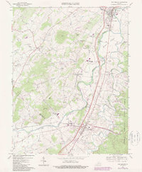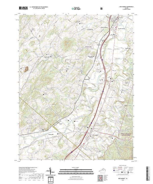
2022 Map of New Market
USGS Topo · Published 2022About this map
New Market Battlefield State Historical Park anchors this portion of the Shenandoah Valley, preserving the ground of a pivotal 1864 engagement. The North Fork Shenandoah River winds through the valley floor, passing through Meems Bottom and by the historic rail-side communities of Mount Jackson and Quicksburg. The landscape is notably dense with small family and church burial grounds, including the Corhaven Graveyard and a documented Slave Cem, reflecting the deep ancestral roots in Shenandoah and Rockingham counties.
Find a feature on this map
151 named features on this map. Tap any name to fly to it.
Don’t see what you’re looking for? This feature index may not catch every label — zoom into the map to look around manually.
Map Details
Editions of this 2022 New Market Map
This is the sole edition of this map. No revisions or reprints were ever made.
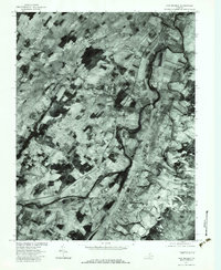
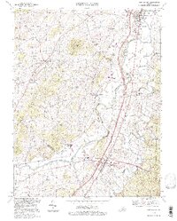
Historical Maps of Quicksburg Through Time
4 maps found