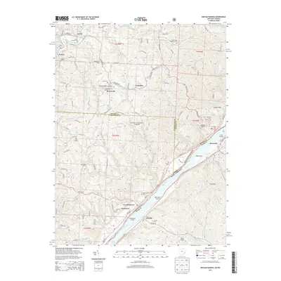
2013 Map of New Matamoras
USGS Topo · Published 2013About this map
New Matamoras and Matamoras anchor this 2013 survey of the Ohio River corridor, where the waterway forms the boundary between Ohio and West Virginia. The landscape is defined by the deep valleys of the Little Muskingum River and its tributaries, including Rockcamp Run and Pigeonroost Run. The upland ridges are dotted with several small communities and historic burial sites such as Jericho Methodist Cem and the German Lutheran Cem. The Wayne National Forest encompasses much of the central terrain, preserving the character of the wooded hillsides above the river.
Find a feature on this map
151 named features on this map. Tap any name to fly to it.
Don’t see what you’re looking for? This feature index may not catch every label — zoom into the map to look around manually.
Map Details
Editions of this 2013 New Matamoras Map
This is the sole edition of this map. No revisions or reprints were ever made.
Other maps of this area

1905 · West Union
USGS Topo · 1:62,500

1905 · New Matamoras
USGS Topo · 1:62,500

1906 · Saint Marys
USGS Topo · 1:62,500

1906 · New Martinsville
USGS Topo · 1:62,500

1924 · St Marys
USGS Topo · 1:62,500

1924 · New Martinsville
USGS Topo · 1:62,500

1924 · New Matamoras
USGS Topo · 1:62,500

1924 · West Union
USGS Topo · 1:62,500

1926 · New Martinsville
USGS Topo · 1:62,500

1926 · New Matamoras
USGS Topo · 1:62,500