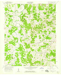
1958 Map of New Middleton
USGS Topo · Published 1959About this map
Round Lick Creek and its many tributaries, including Jennings Fork and Commerce Fork, define the landscape of this region during the late 1950s. The northern edge of the map features the rising waters of Old Hickory Lake, where the reservoir boundary meets the agricultural lands of Wilson and Smith counties. The Tennessee Central railroad cuts through the southern portion of the sheet near Commerce, providing a vital transit link for the dispersed rural communities.
Find a feature on this map
70 named features on this map. Tap any name to fly to it.
Don’t see what you’re looking for? This feature index may not catch every label — zoom into the map to look around manually.
Map Details
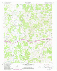
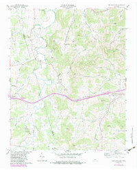
Editions of this 1958 New Middleton Map
4 editions found
Other maps of this area

1928 · Gordonsville
USGS Topo · 1:62,500

1932 · Carthage
USGS Topo · 1:62,500

1942 · Statesville
USGS Topo · 1:100,000

1956 · Corbin
USGS Topo · 1:250,000

1956 · Nashville
USGS Topo · 1:250,000

1958 · New Middleton
USGS Topo · 1:24,000

1958 · Corbin
USGS Topo · 1:250,000

1958 · Bellwood
USGS Topo · 1:24,000

1958 · Watertown
USGS Topo · 1:24,000

1958 · Dixon Springs
USGS Topo · 1:24,000