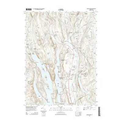
2015 Map of New Milford
USGS Topo · Published 2015About this map
The Housatonic River and its expansive reservoirs dominate this 2015 landscape, illustrating a complex hydraulic system in western Connecticut. The massive footprint of Lake Candlewood fills the center of the sheet, its shoreline defined by numerous family-named points and islands like Point Hedden and Vaughns Neck. This artificial lake, created for power generation in the early 20th century, transformed the local topography, leaving former heights like Candlewood Mtn and Green Mtn as prominent landmarks overlooking the water.
Find a feature on this map
109 named features on this map. Tap any name to fly to it.
Don’t see what you’re looking for? This feature index may not catch every label — zoom into the map to look around manually.
Map Details
Editions of this 2015 New Milford Map
This is the sole edition of this map. No revisions or reprints were ever made.
Other maps of this area

1892 · Danbury
USGS Topo · 1:62,500

1892 · New Milford
USGS Topo · 1:62,500

1892 · Carmel
USGS Topo · 1:62,500

1893 · Carmel
USGS Topo · 1:62,500

1893 · New Milford
USGS Topo · 1:62,500

1893 · Clove
USGS Topo · 1:62,500

1894 · Clove
USGS Topo · 1:62,500

1894 · Carmel
USGS Topo · 1:62,500

1898 · Clove
USGS Topo · 1:62,500

1901 · Clove
USGS Topo · 1:62,500